Jen and I visited Big Bend National Park in January, 2001. Big Bend is in west Texas, in the big bend of the Rio Grande River, and is an eight hour drive from Austin. We spent two full days hiking in the Chisos Mountains, almost certainly the most fantastic hiking scenery in the state of Texas. We camped overnight on the South Rim, overlooking the Chihuahuan Desert.
These photos are copyright (c) 2001-2003 Kenneth E. Harker. All rights reserved.
|
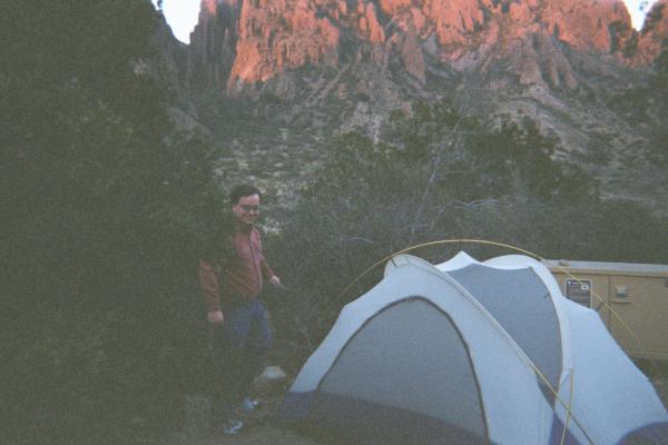
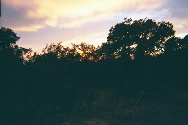
After spending most of Thursday driving from Austin to Big Bend, we camped overnight in the Chisos Basin Campground. The Chisos Basin is at 5400' elevation, in the central north part of the Chisos Mountains, which are themselves almost in the center of the park. We decided to camp in the tent instead of the Chisos Mountain Lodge, because we wanted to make sure we could handle the cold and that we hadn't forgotten anything important before we hiked into the mountains. Behind the tent is a large bear locker. |
|
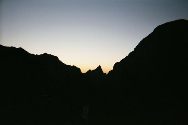
A view of "The Window" at sunset from our camp site. The Window is a gap in the mountains to the west. |
|
Friday morning, we packed up, moved the car to the general parking area, and hit the trail by 8:30AM. We had great, sunny weather all day Friday and Saturday. |
|
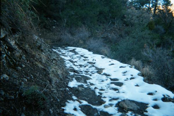
Here and there in the more shaded parts of the mountains, you could still find snow that had yet to melt from a snowfall earlier in the week. |
|
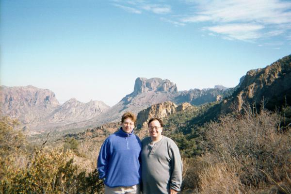
We hiked up the Laguna Meadows trail, the westerly of the two main trails that head up into the mountains south of the Chisos Basin. The Laguna Meadows Trail was more gradual in climb than the Pinnacles Trail to the east. A group of Boy Scouts reached the Laguna Meadows just as we were finishing lunch and took our photo for us. The elevation was around 7000'. |
|
Once we reached the Laguna Meadows, site of an old ranch, we only had 400' of additional elevation to go before camp, so the afternoon hiking was less strenuous. |
|
There were plenty of deciduous trees all over the mountains at these elevations. We even saw blue jays. |
|
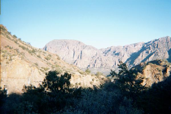
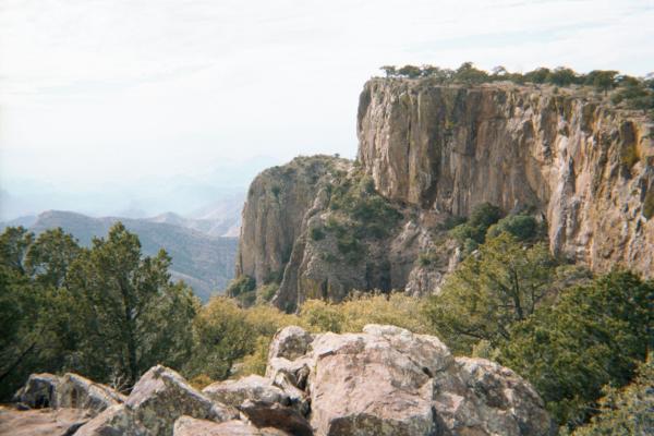
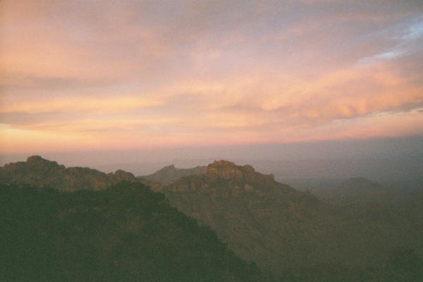
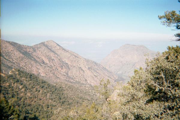
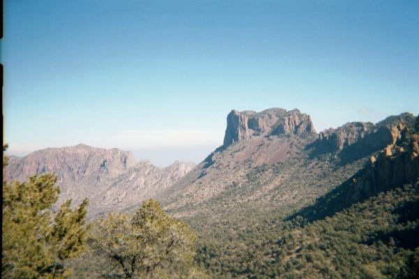
We finally reach the South Rim! This is the southwestern corner of the South Rim, a huge cliff face on the south side of the Chisos Mountains. We are at about 7400' elevation, and the Chihuahuan Desert floor below is at about 5000' elevation. It is very hard to take a photograph that does justice to this kind of view. |
|
We camped overnight at a backcountry campsite further east on the South Rim. The trail this campsite was on is closed from January 15 to July 15 every year, as the cliffs are an important nesting site for Peregrine falcons. We visited the last weekend before the area was closed for the season. Aside from the bear locker, there wasn't really much to the campsite. |
|
This is the view we woke up to on Saturday morning. Even a frozen PowerBar breakfast tastes great with a view like this. |
|
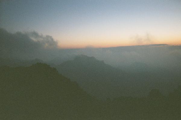
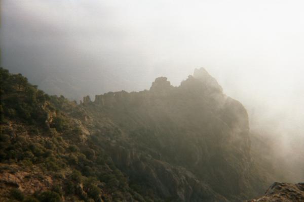
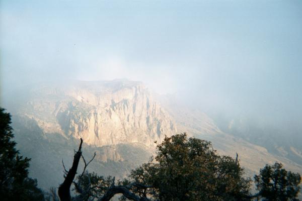
Clouds rolled up out of the south and over the South Rim. |
|
After a while, the coulds were thick enough that you couldn't see very far. |
|
Having broken camp, we take one last look at the South Rim before we head back down to the Chisos Basin on the Pinnacles Trail. |
|
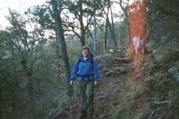
The trails are a little wider and better maintained than the Appalachian Trail. They are still mostly single-track, but park rangers also need to travel them on horse and mule. |
|
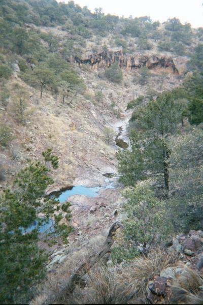
We carried in all the water we used. In January, there were streams of water here and there, probably mostly snow-melt, but in general the Chisos Mountains are too dry to rely upon finding water. Between us, we carried in 15 liters of water and had two liters left when we returned to the Chisos Basin. |
|
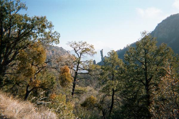
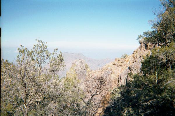
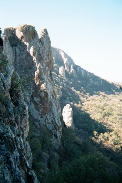
A very interesting natural rock column in this little valley. |
|
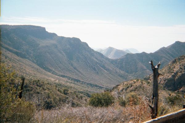
This was the view from the top of a very steep section of the Pinnacles Trail, looking north. The Chisos Basin is below, and the Chisos Mountain Lodge and Chisos Campground are about 1800' lower in elevation. |
|
This was a great place to stop and eat lunch. We had a blue jay keeping us company the whole time. It was clearly comfortable around humans. |
|
Heading down the Pinnacles Trail, you can see that it is pretty steep. |
|
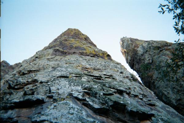
At the top, the trail had a lot of switchbacks. The first switchback was underneath this huge vertical rock formation. |
|
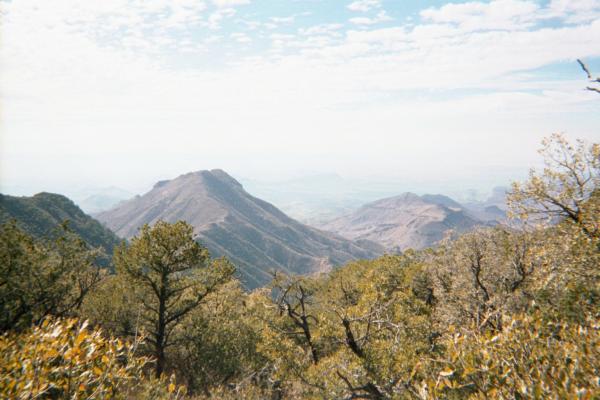
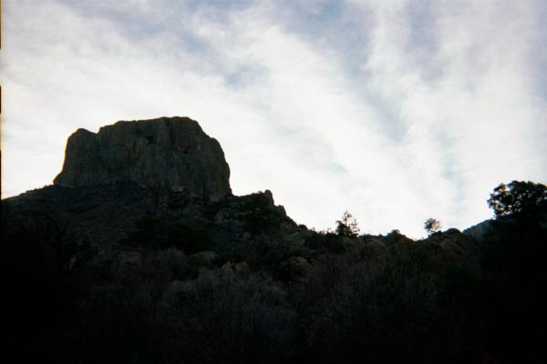
About halfway down the steep section of the Pinnacles Trail, we get a great view of Casa Grande, so named because it looks like a large house. |
|
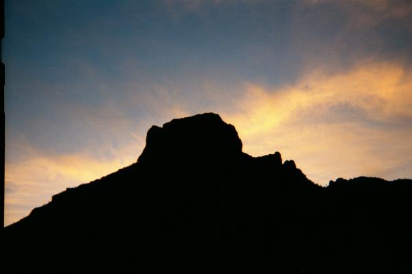
We arrived at the Chisos Basin around 3PM, checked into the Chisos Mountain Lodge, showered, and went off to have dinner at the Lodge dining room. On the way to dinner, the sunset was lighting up the clouds behind Casa Grande. |
|
Sunday morning, we took a few more photos of the Chisos Basin before our drive back to Austin. |
|
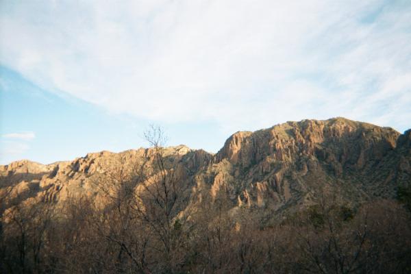
The lower elevation mountains were covered in desert vegetation. |
|
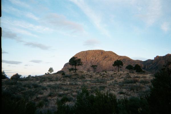
The sun hadn't yet climbed above the massive Casa Grande. |
| Last Updated 1 August 2018 |