 |
On our way up out of the canyon to the camping site, it was kind of
grey and rainy, so I didn't take too many photos.
|
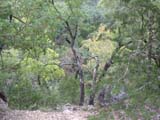 |
This is another view of some of the local trees. These are not
maples. Right after this, we started to get rained upon, which
lasted for a couple of hours.
|
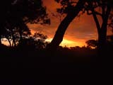 |
Sunrise at 2250 ft. ASL. It had rained hard the afternoon before
and the rain clouds didn't completely dissipate until mid-morning.
|
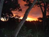 |
Another view of the sunrise, with the camera's flash on. These were
both taken from inside the tent.
|
 |
Another view of the sunrise a little later, as the clouds obscured
more of the sun.
|
 |
More of the sunrise, taken while walking in a meadow in
front of our campsite.
|
 |
The horizon off to the north at sunrise.
|
 |
Another sunrise photo.
|
 |
More morning sunshine spilling through the clouds.
|
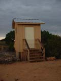 |
About a five minute walk from our tent, this was a brand new
outhouse. It was a composting toilet complete with multiple sources
of air ventilation and a sky-light. Apparently, the previous one
had mysteriously burned down in the middle of the night.
|
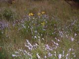 |
When I asked Jen what kind of flowers these were, she said "wild
flowers."
|
 |
This was part of the path down into Mystic Canyon, which was a small
tributary that fed into Can Creek. Unfortunately, many of the designated
paths were designed to follow dry creek beds for significant stretches.
Walking on loose gravel and always wondering when the path would pick
up again out of the creekbed became rather tedious.
|
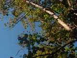 |
A sycamore tree that has leaves that look pretty similar to maple
trees.
|
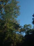 |
Some bigtooth maple trees lining Mystic Canyon.
|
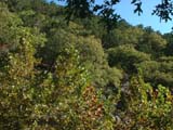 |
Some maple trees in the foreground. The maples by and large grew only
very close to the bottoms of the canyons.
|
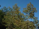 |
Another stand of maple trees. These are probably in the Can Creek
canyon.
|
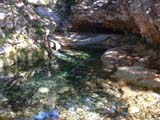 |
A pretty, deep pool of water where a tributary flows into Can Creek.
As it rained all Friday afternoon, there was some water in certain spots
of the creeks, but not enough to flow on the surface in others.
|
 |
Jen, walking up a short incline from the pool.
|
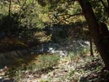 |
It's hard to see, but just about in the center of the frame, there's
a gushing spring coming out of the rock face on the opposite bank of
Can Creek.
|
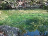 |
Can Creek has two large ponds in it. This was the upper pond, which
was more shallow and had a lot of vibrant green vegetation growing
inside it.
|
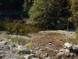 |
This is the top of a short rapids section between the upper and lower
pools.
|
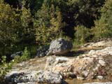 |
A large rock.
|
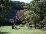 |
A very pretty field beside the larger, lower pond in Can Creek.
This was also one of the designated primitive camping areas that
we could have chosen. There were a couple of tents pitched here
when we walked through.
|
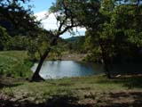 |
A view of the pond from a bench beside the trail where we stopped
for a short break to munch on some trail food.
|
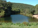 |
A view of the pond as we continue our downstream hike.
|
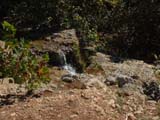 |
A little ways downstream from the lower pond was a small waterfall.
|
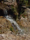 |
A view looking down the waterfall that was maybe eight feet high.
|
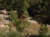 |
The waterfall and rapids from a little further downstream, with lots
of maple trees by the water's edge.
|
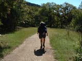 |
Jen, walking through a meadow, not far from the trailhead and the end
of our adventure.
|


