 |
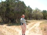
Jen, near the trail head by the parking lot. We should have brought hats
with us, but we had forgotten them at home.
|
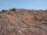 |
The local rock is this red granite. When it is not actually above
the surface of the soil, it's not very far below it.
|
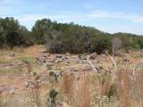 |
A meadow on the north side of the Park Road.
|
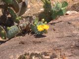 |
A prickly pear cactus, just beginning to bloom. This particular type of
cactus usually has yellow flowers that bloom any time from late April to
early July.
|
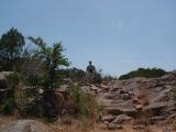 |
The trail sometimes goes over rocky spots where the trail is marked either
by cairns or loose stone borders like you see here. Otherwise, the trail
was distinct enough that markers were only needed at trail junctions.
|
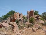 |
An interesting red granite boulder pile.
|
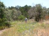 |
Late April is toward the end of the wildflower season in central Texas. These
are bluebonnets, firewheels, and some white and yellow flowers. At the lower
right, you can see some bluebonnets that have recently dried up.
|
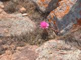 |
This is a flowering succulent of some variety. We saw many of these from
the trail, but never grouped together - they always seemed to grow separately
from one another.
|
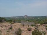 |
A slightly hazy view to the north. The haze is from the smoke of
agricultural fires burning in central America. The smoke reaches south and
central Texas almost every year in April and May. 2003 was worse than
average, but most of the smoke arrived in early May, so it wasn't too bad
when we were hiking.
|
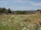 |
A nice grassy meadow south of the Park Road.
|
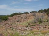 |
A view of a rocky hillside adjacent to the meadow. At one point in time,
cattle were probably ranched on this land, but it has been a state park for
over 50 years.
|
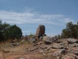 |
A red granite boulder, as seen from the trail.
|
 |
At one point, the trail passes through a stand of mountain cedar trees and
goes between these two large boulders.
|
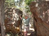 |
It was probably ten degrees cooler
in this shade than anywhere else on the trail. Unfortunately, there were a
lot of flies and several thousand spiders hanging out in the gap, so we didn't
stay long.
|
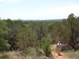 |
A view to the west, as the trail dips down into a little gully. Before
European settlement, there would not have been nearly as many mountain cedar
trees in the park. They thrive only because wild grass fires in the area
have been kept under control.
|


