


Jen and I visited the state of Washington in the first week of April, 2003. After attending my cousin's wedding, we went on a mini-vacation to visit both Mount Rainier National Park and Olympic National Park. The day we were at Mount Rainier, it was raining and the mountain was behind fog and cloud. We stayed at the National Park Inn, which was wonderful, but there was too much snow on the trails to do much exploring beyond the scenic driving. At Olympic National Park, we decided to do some trail hiking, even though it was raining.
These photos are copyright (c) 2003 Kenneth E. Harker. All rights reserved.
|
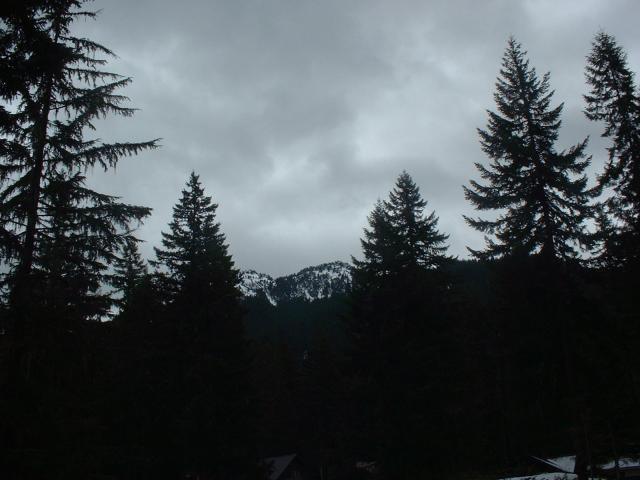
This was a typical view, looking at Mount Rainier, the day we visited Mount Rainier National Park. You cannot really see much of the mountain. |
|
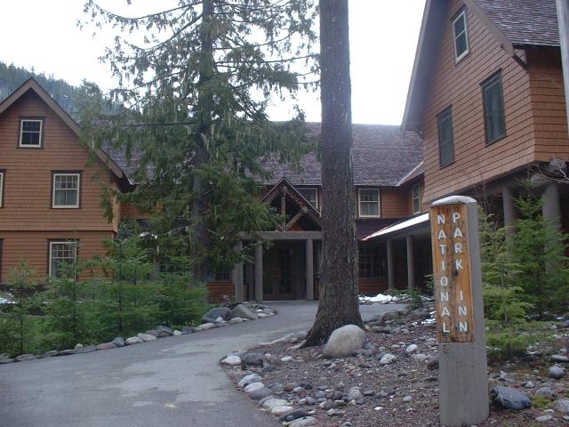
We spent the night at the National Park Inn, which was pretty nice. Our room was a little on the small side, but there is a guest lounge with a huge fireplace where we spent some time reading while other guests played Scrabble. |
|
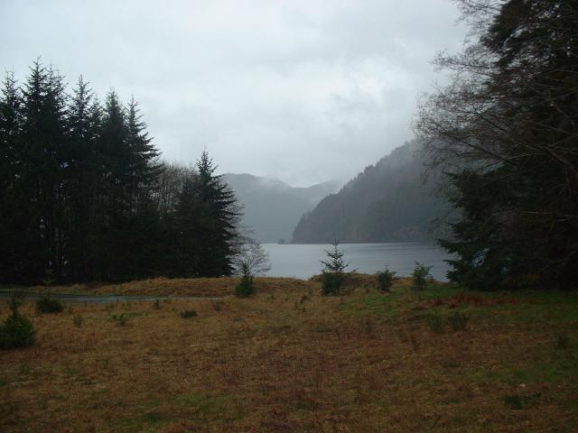
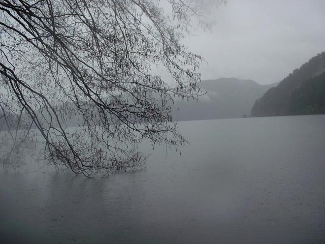
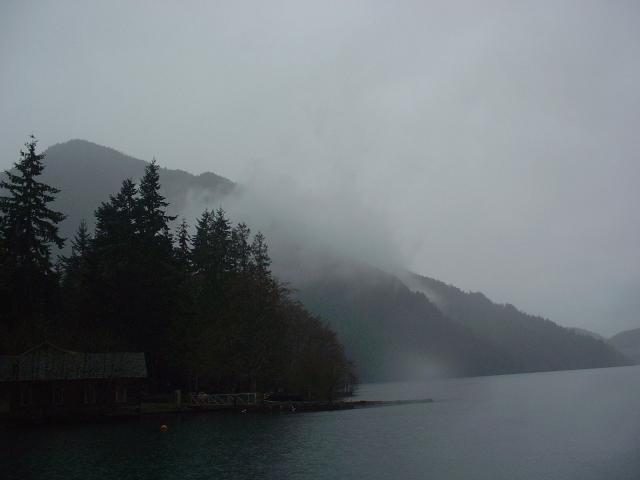
One of the places we visited in Olympic National Park was Lake Crescent and the trail to Marrymere Falls. This is a view of Lake Crescent, from just in front of a park ranger station that was still closed for the season. This is also the trailhead for the trail to Marrymere Falls. At this point in our trip, there was just a slight drizzle. |
|
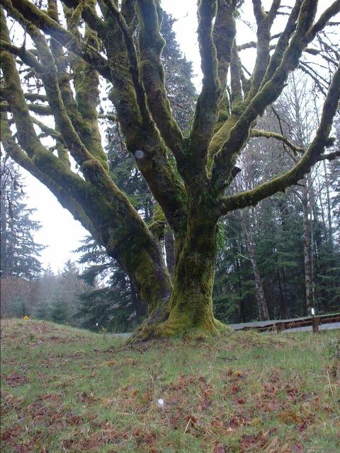
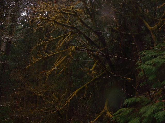
The trail ducks under US Highway 101 through a culvert, then heads uphill and away from Lake Crescent. Just by the road, this large, dead tree was entirely covered by moss. |
|
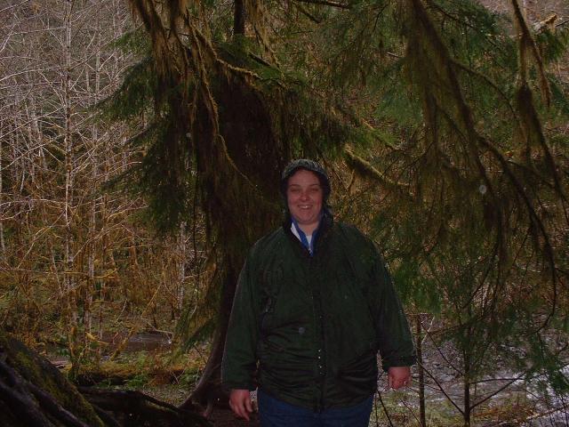
Jen, standing under some trees beside the trail. Behind here is Barnes Creek, which the trail followed for about a mile. Marrymere Falls are part of a tributary of Barnes Creek. |
|
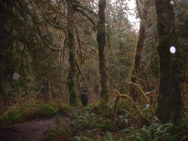
Olympic National Park is a temperate rain forest. The abundant rainfall, heavy forest shade, and snowmelt from the mountains makes valleys like this one ideal for ferns, moss, and other moisture-loving plants. The trees are mostly red cedar and firs. |
|
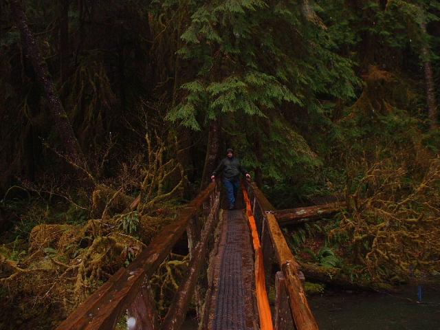
There are two foot bridges on the trail to the falls. This is the first one, and it crosses the main flow of Barnes Creek. For some reason, Jen decided to wait until I was all the way across before she would start across the bridge herself. |
|
The foot bridge that crosses Barnes Creek. |
|
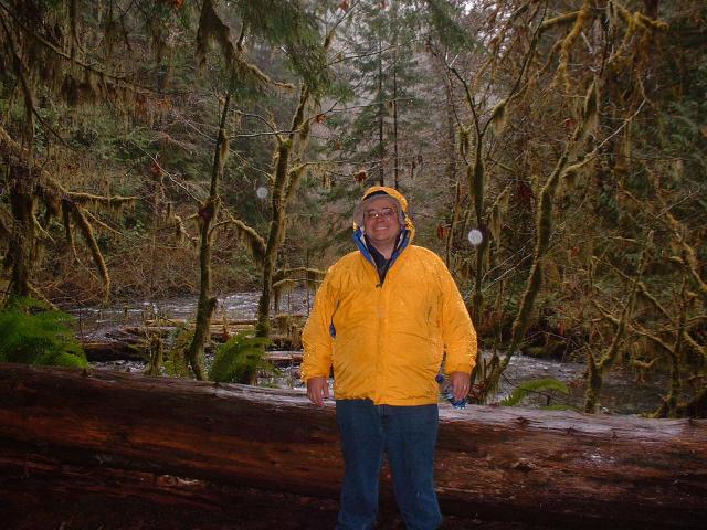
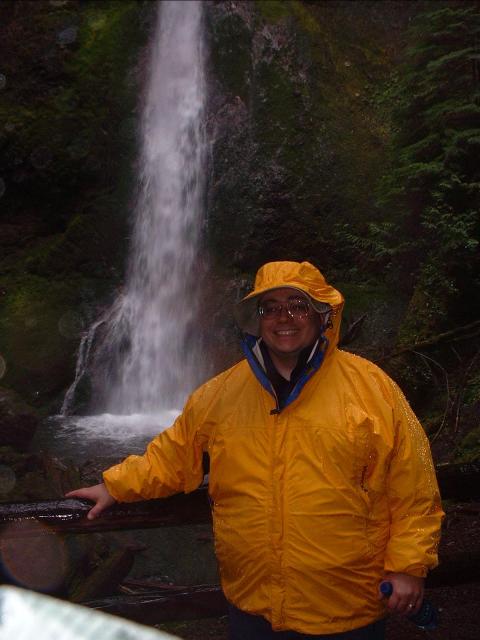
Ken, with Barnes Creek in the background. As you can tell from the raindrops captured by the camera, it is still raining. |
|
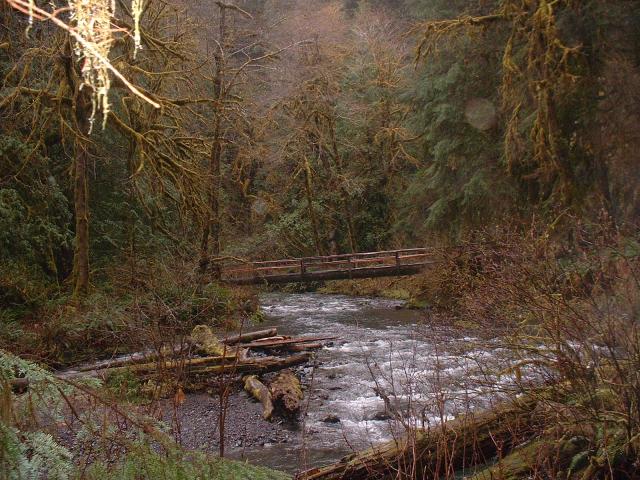
The tributary that flows from the base of Marrymere Falls into Barnes Creek. Even though the falls are less than 1/8 mile away, the vegetation is so dense you cannot see them here. |
|
The final 1/8 mile of trail goes up the side of a steep hill, through a stand of red cedars. We were offered a choice: the trail splits and a sign points in one direction, with the words "easier route." We took the hard route. In reality, there are two observation areas, and the easier route just takes you to the lower observation area and involved less climb. |
|
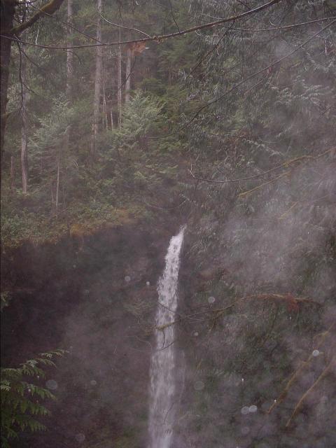
Marrymere Falls, as seen from the upper observation deck. From this location, it was really impossible to get all 90 feet of the falls into the camera frame at once. |
|
A view of the base of the falls, about 45 feet or so below us. |
|
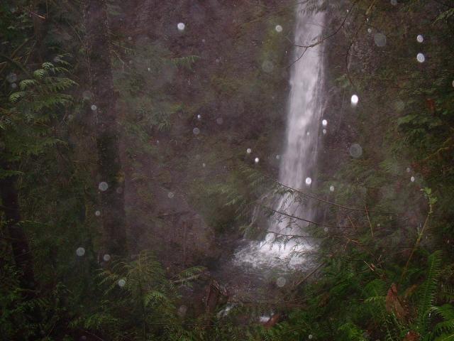
You can tell from the raindrops that it is starting to rain a little harder. |
|
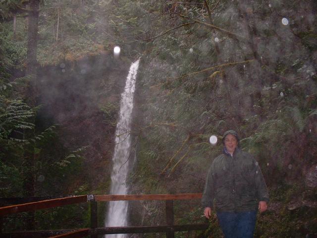
Ken, standing at the lower observation platform. There is a very steep staircase trail connecting the two observation platforms. I think those who follow the "easier trail" sign only to discover a 35 foot tall staircase to get up to the upper observation deck would probably question the advice they had received. It was much easier to come down that direction. |
|
The top of the falls, as seen from the lower observation deck. |
|
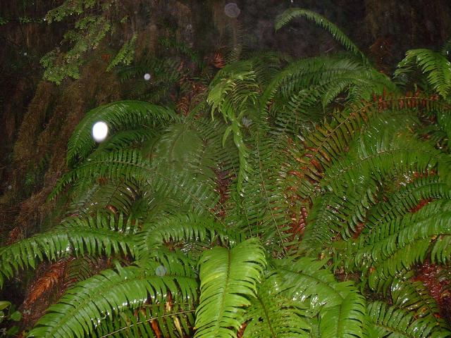
A giant, really wet fern growing next to the trail. |
|
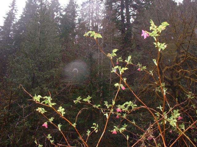
Some vines with pink flowers growing next to the creek. I don't know what kind of plant this is. |
|
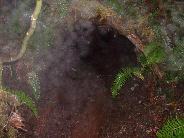
A small burrow formed by root stock and moss. I don't know if any animals called it home (it was right next to the trail) but it did look like it would be a cozy place to get out of the rain if you were small enough. |
|
This dead tree trunk was just completely covered in these small brown and larger green ferns. |
|
Moss can grow anywhere in this environment. |
|
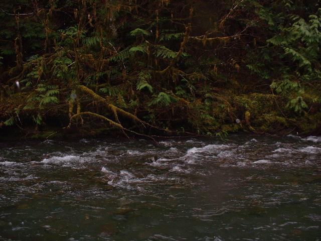
Barnes Creek seemed to be full. I don't really have any way to know, of course, but it certainly had some swift moving water, and there were only a few gravel banks here and there above the water. |
|
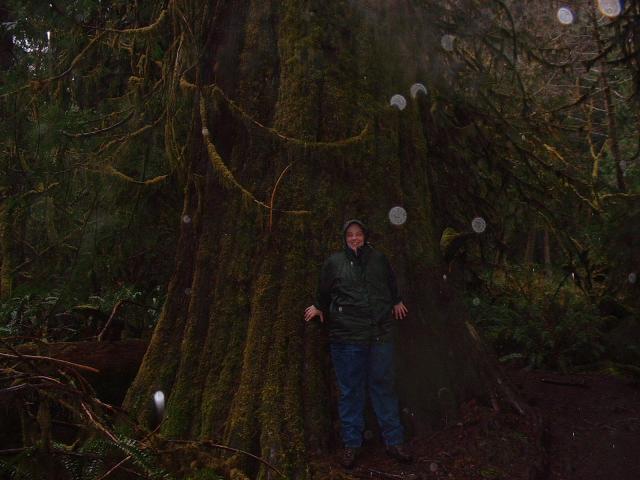
Jen, standing in front of a red cedar tree beside the trail. |
|
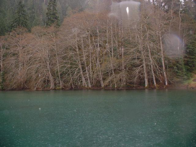
On our way back to the car, we took a short side trail that went right up to the shore of Lake Crescent. The big glacial lake was very quiet and still in the rain. |
|
There was a mountain cabin near a dock and boat ramp at Barnes Point. |
|
A view of the shoreline, as seen from the end of the dock at Barnes Point. |
|
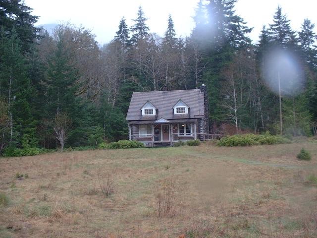
The park ranger house at Barnes Point. The trail to Marrymere Falls starts in the tall grass in front of the building. |
|
Sunrise over the Strait of Juan de Fuca at our hotel in downtown Port Angeles, Washington. The land in the far distance is Vancouver Island, British Columbia. |
|
A view further down the coast to the east. This was taken from our ground-level balcony at the hotel. |
|
A commercial shipping vessel in the Strait of Juan de Fuca. |
| Last Updated 1 August 2018 |