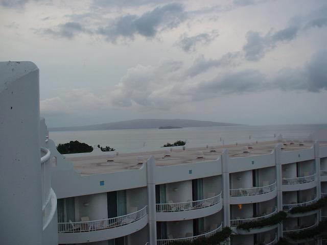
Jen and I visited Maui, Hawaii, in January, 2007. It was our first trip to
Hawaii, and we spent a full week exploring the island of Maui. We saw
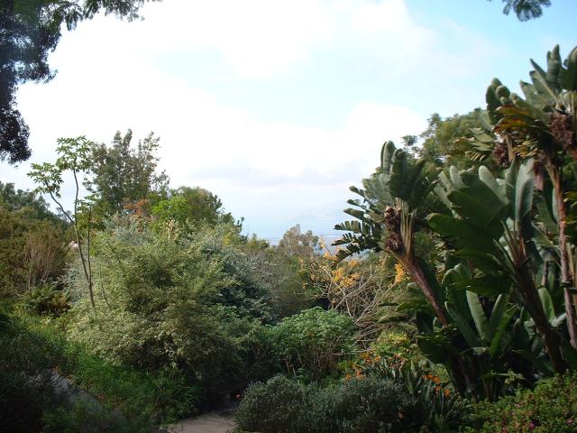
wonderful beaches and natural scenery, visited a working tropical plantation
and botanical gardens, saw whales, snorkeled at a coral reef, and saw the
summit of the highest dormant volcano in the world. Maui no ka oi!
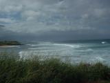 |
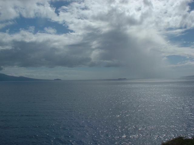
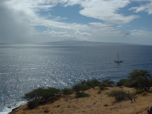
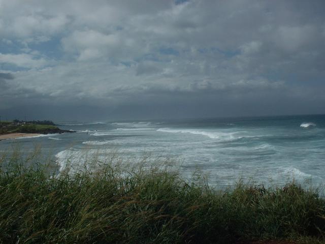
Our first stop on the road to Hana was a scenic overlook of Hookipa Beach, on
the north shore of Maui. This is apparently one of the better spots on the
island for surfing and windsurfing.
|
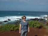 |
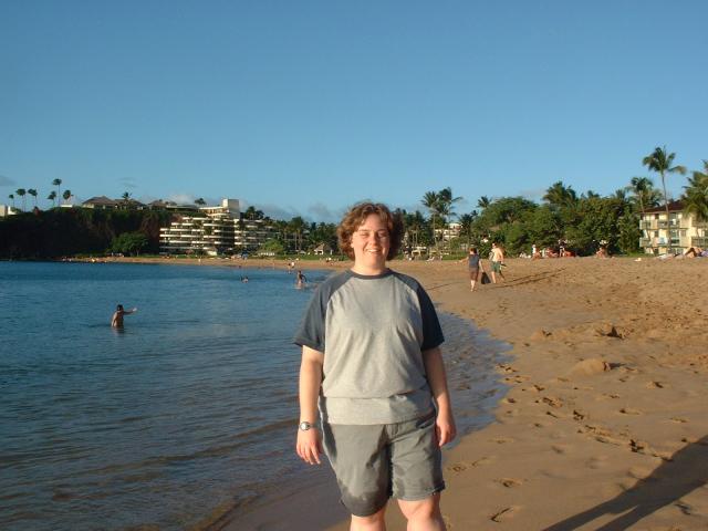
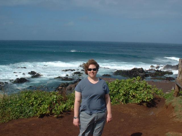
Jen, in front of the rocks at the eastern edge of Hookipa Beach.
|
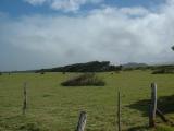 |
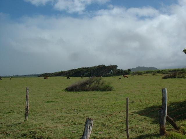
A small cattle ranch near Hookipa Beach.
|
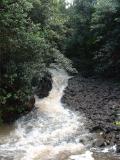 |
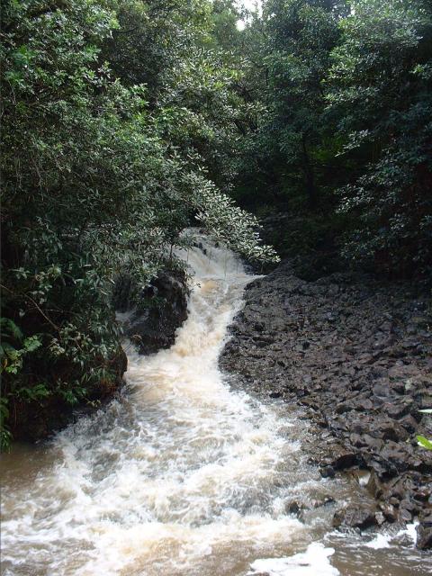
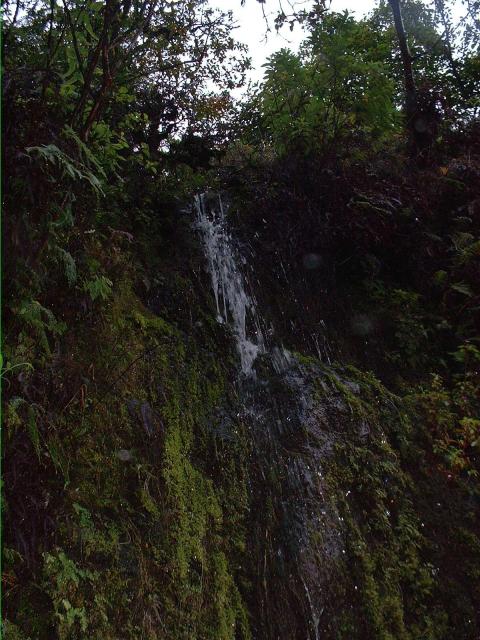
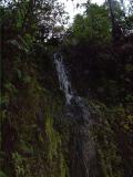
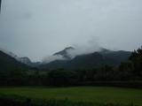
A waterfall somewhere south of the Hana Highway near mile marker two on the
north side of the island.
|
 |
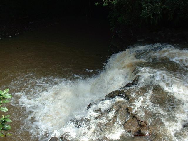
This was one of several waterfalls on this stream.
|
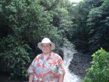 |
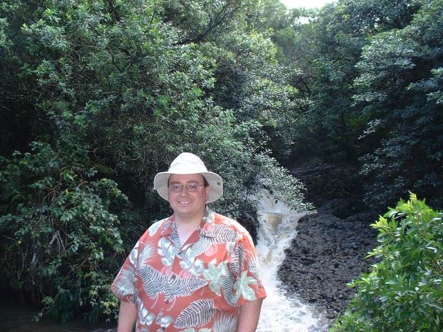
Me, in front of a waterfall near the Hana Highway. I was wearing one
of the many Hawaiian shirts I acquired on the trip.
|
 |
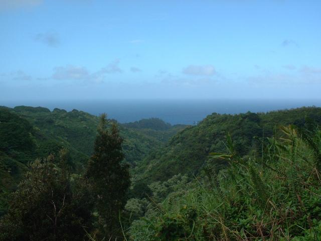
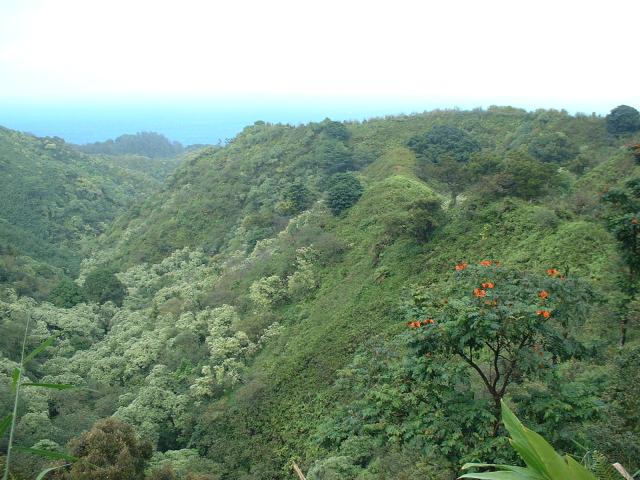
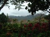
A view out to the Pacific Ocean from inside one of the steep, deep
valleys through which the Hana Highway winds.
|
 |
Photographs cannot do the terrain the justice it deserves; the valley was
easily hundreds of feet deep.
|
 |
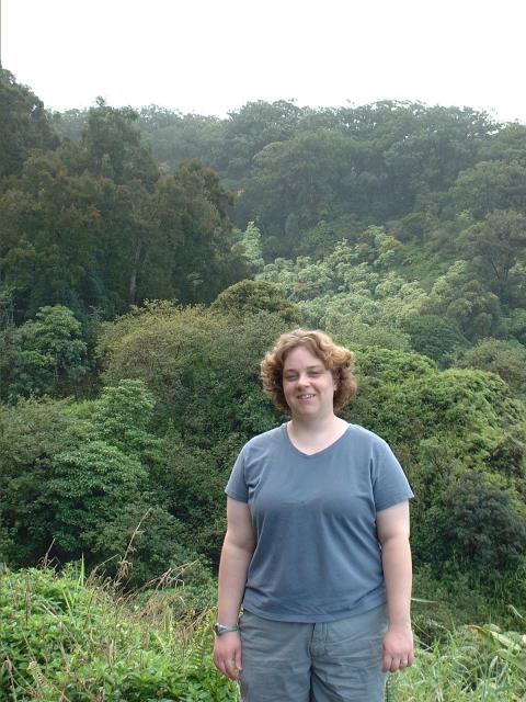
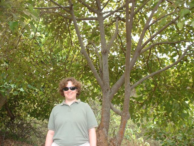
Jen, with the Hawaiian tropical rainforest behind her.
|
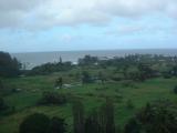 |
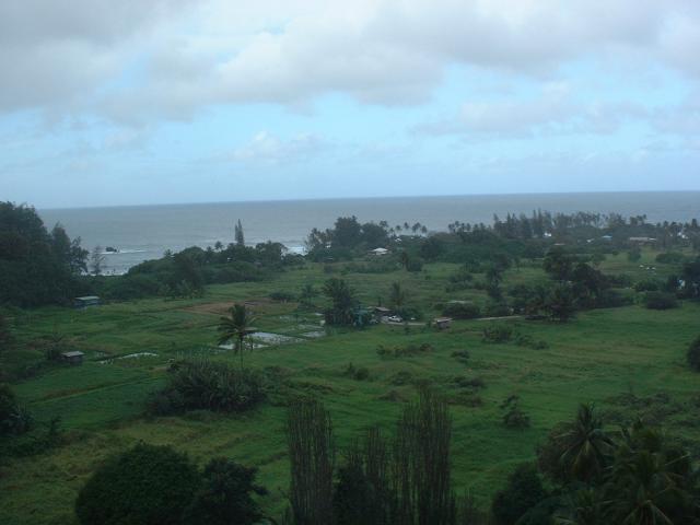
The taro fields and homes of the small village of Keanae, located on
a small, flat peninsula below the Hana Highway.
|
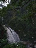 |
We stopped at this waterfall on the drive back from Hana, by which time it
was raining steadily.
|
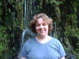 |
Jen, standing in front of a small waterfall in the rain.
|
 |
Another small waterfall on the side of the road.
|
 |
Me, in the rain with a waterfall behind me.
|
 |
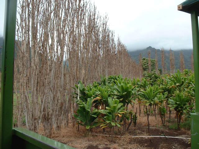
We visited the Maui
Tropical Plantation and Country Store to take a
tour of the
plantation and see all the crops that have been traditionally grown
on Maui.
|
 |
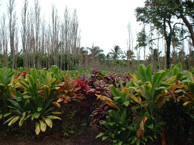
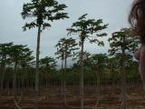
All of the poplar trees used as windbreaks between crops were dead or dying,
from a new parasite. Our tour guide insists that the problem is occurring
throughout the Hawaiian Islands.
|
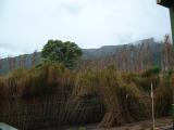 |
Sugar cane, which we saw in many, many fields throughout Maui.
|
 |
Ti plants, not to be confused with the tea one drinks. The fibers of the Ti
leaves were used by Hawaiians to create fabrics. Today, they are used in
lei making and for hula skirts.
|
 |
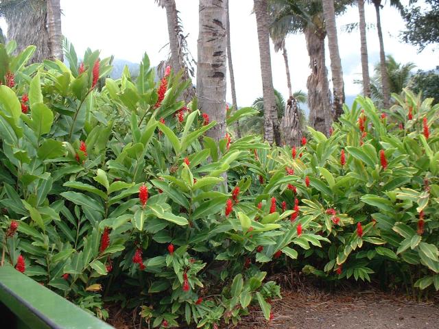
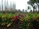
Red ginger plants, an ornamental blooming flower used primarily in cut
flower arrangements.
|
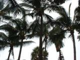 |
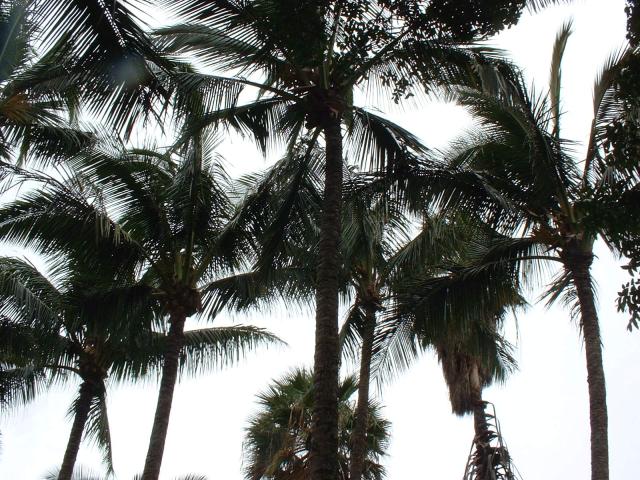
Coconut palms.
|
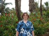 |
Jen, standing in front of the red ginger crop.
|
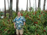 |
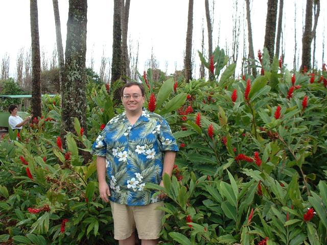
Me, in front of the red ginger crop.
|
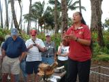 |
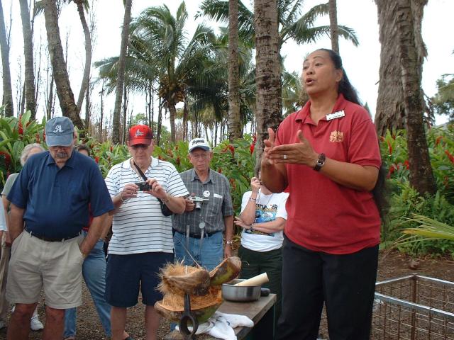
Our tour guide demonstrates how to husk a coconut.
|
 |
Papaya trees.
|
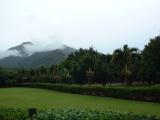 |
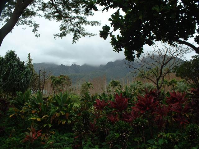
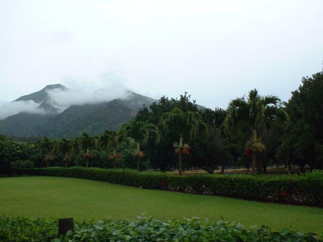
The plantation is at the base of Halemahina, the dormant volcano that
forms the western portion of Maui. Halemahina in Hawaiian means "house
of the moon", and is the foil to the volcano Haleakala, the "house of the
sun," which forms the remainder of the island.
|
 |
The deep valley behind the plantation is formed by Waikapu Stream.
|
 |
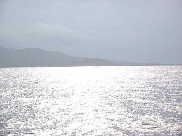
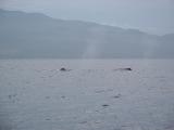
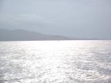
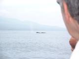
Jen, on the lower deck of the
Four Winds II, the
boat we took from Maalaea Harbor to the snorkeling destination of Molokini,
which passes through the
Hawaiian Islands Humpback Whale National Marine Sanctuary.
We saw several whales on both the outbound and return trips.
|
 |
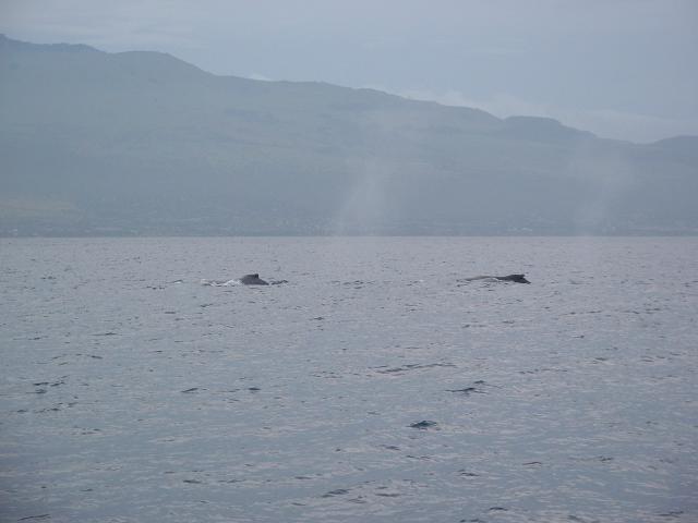
Two humpback whales swimming near our boat.
|
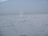 |
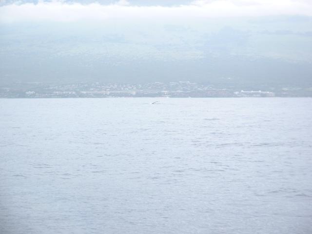
A tail fin just peaking out of the water as a whale begins a dive. One of
the others on our boat caught the two diving whales on
video.
|
 |
The splash left by a whale that jumped about three-quarters of the way out
of the water.
|
 |
A humpback whale lying on its side and slapping a flipper on the surface of
the ocean.
|
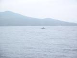 |
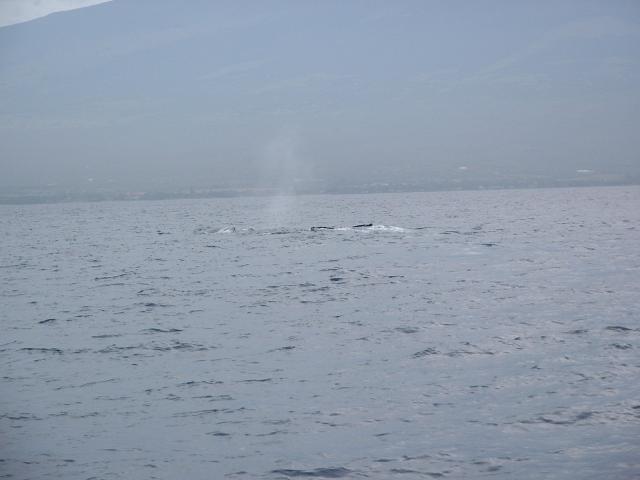
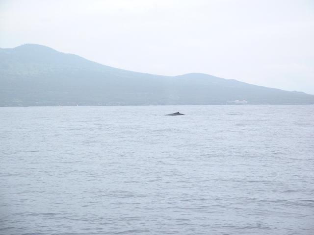
Another humpback whale swimming on the surface not far from our boat.
|
 |
Two humpback whales swimming very close to one another.
|
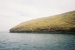 |
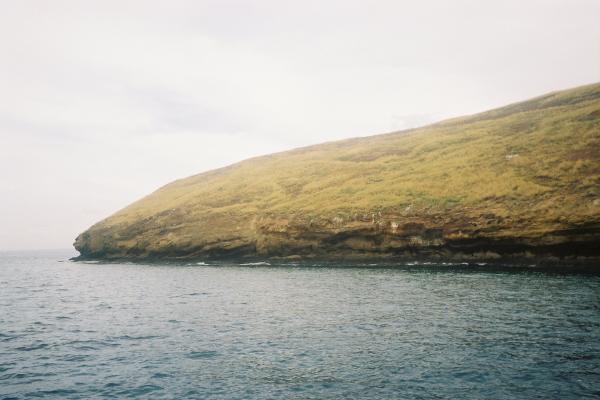
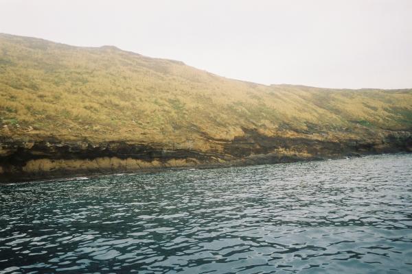
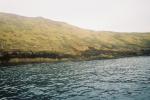
Molokini is a small volcanic crater rim that extends just above the water.
It is uninhabited, but supports diverse bird life above water and marine life
on its coral reefs. It is a very popular destination for snorkeling and
scuba diving; at least five other boats were moored there at the same time
as us. The island is administered as the Molokini Shoal Marine Life Conservation District
of the State of Hawaii Department of
Land and Natural Resources.
|
 |
The underwater photos were taken with a disposable Kodak Water and Sport One-Time-Use Camera. This was my first time snorkeling; taking
photos at the same time as breathing was a challenge.
|
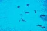 |
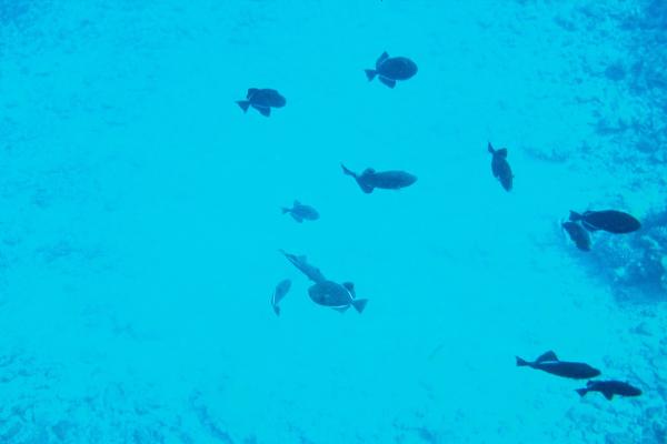
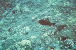
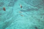
A variety of reef fish swimming in the more open water near our boat. When
I hopped in the water, I basically knew nothing about the kinds of fish I
would be likely to see.
|
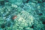 |
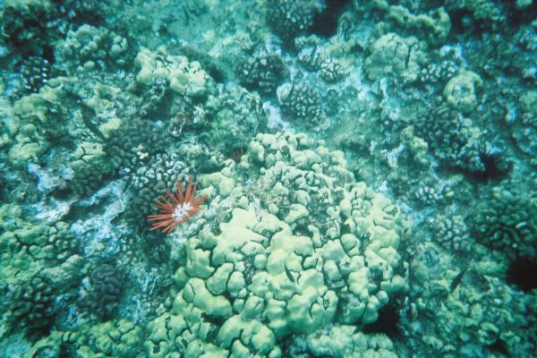
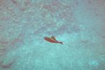
The red creature is a slate pencil sea urchin, common in the shallow waters
of the Hawaiian Islands. Extracts from its brownish-red spines were used
as a dye by native Hawaiians.
|
 |
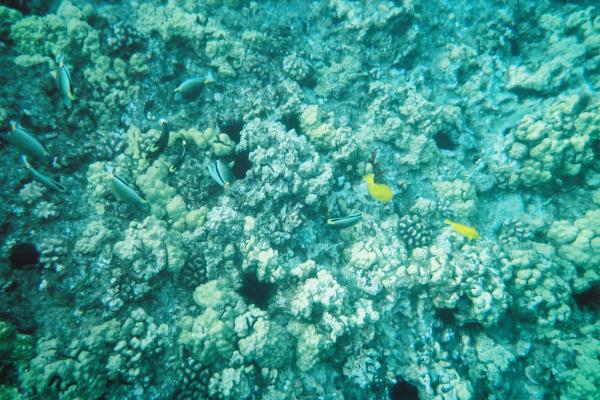
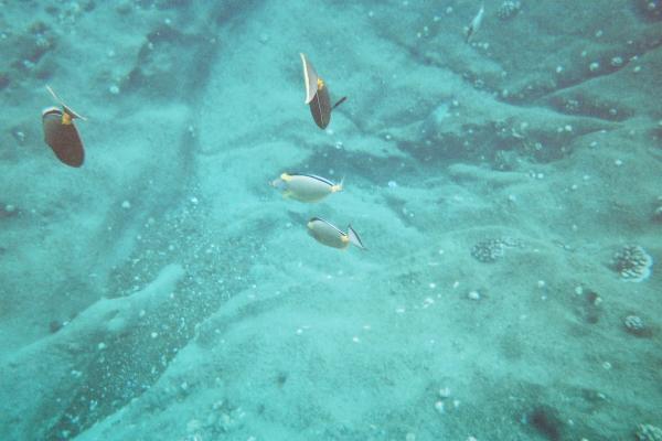
I think these are mostly triggerfish and a couple of bright yellow tang.
|
 |
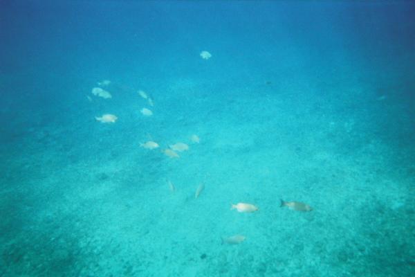
A school of fish.
|
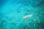 |
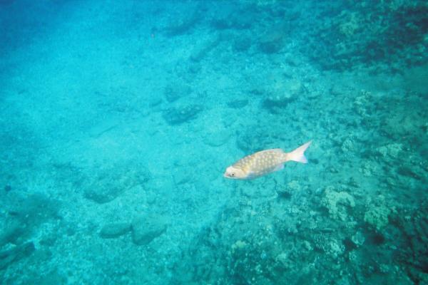
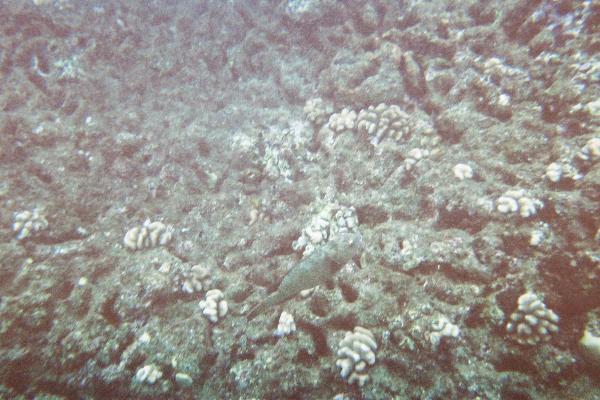
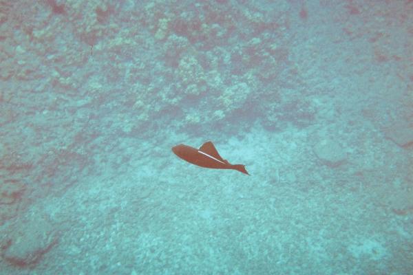
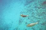
I think this was a grouper.
|
 |
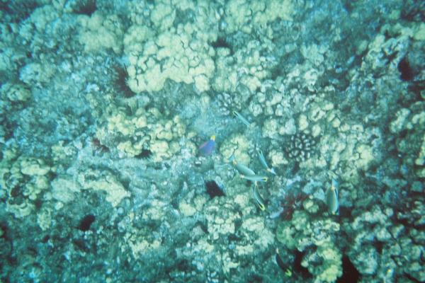
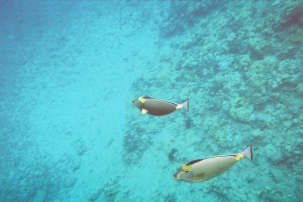
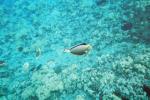
Mostly surgeonfish and a single blue fish that I thin might be a parrotfish.
|
 |
This is some species of surgeonfish, I think.
|
 |
A grouper.
|
 |
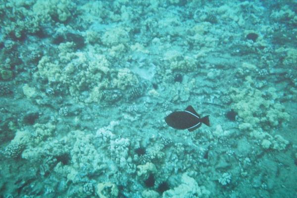
These black triggerfish were all over the reef.
|
 |
Another black triggerfish.
|
 |
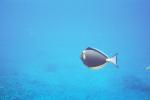
I think these might be orangespined surgeonfish.
|
 |
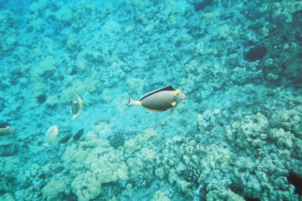
A slightly different species of surgeonfish, this one has a more
pronounced orange stripe on its belly and differently shaped dorsal fin.
|
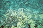 |
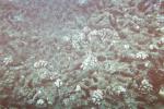
It was difficult to photograph many of the fish against the coral, as they
were small and blended in so well.
|
 |
Two different species of surgeonfish, I think.
|
 |
A black triggerfish.
|
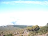 |
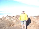
On our last afternoon on Maui, Jen and I drove up to
Haleakala National Park to see the
top of the highest dormant volcano in the world. This was our first rest stop
above the cloud cover on the winding drive up the mountain.
|
 |
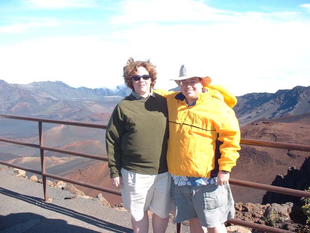
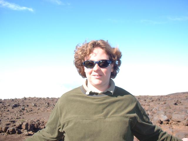
Jen and I at the Summit Area Visitors Center. Behind us is the crater area
of the volcano, which last erupted in the late eighteenth century.
|
 |
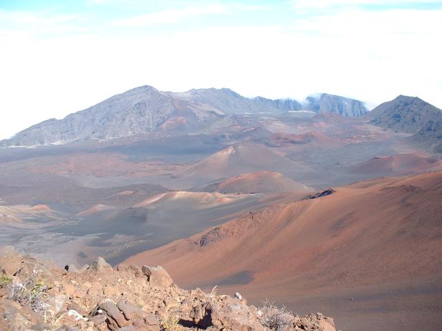
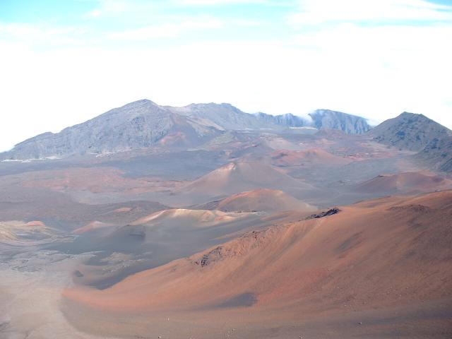
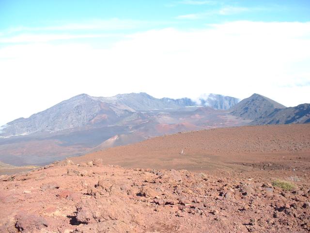
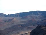
The summit is not a single crater, but a broad valley at the top of the
mountain that eroded out with the lava flow from the most recent eruptions.
You can actually see several volcanic cones inside the valley.
|
 |
Jen, with the white clouds behind her.
|
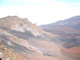 |
All the different colors and textures were created by different lava flows
and levels of erosion over time.
|
 |
The crater is over two miles wide. There are several official hiking trails
through the area, and somewhere on the far line of hills is a shelter that
you can reserve for camping.
|
 |
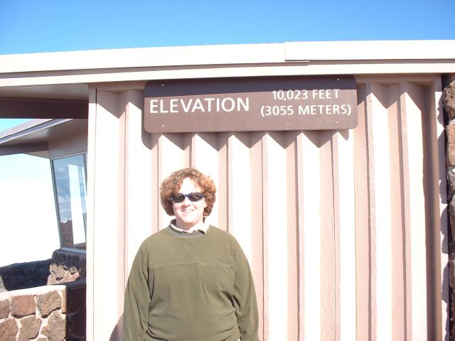
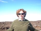
A very short drive from the Visitors Center is the highest point on the
island, at 10,023 feet or 3,055 meters above sea level. There were many
signs around the summit that reminded visitors "High Elevation: Walk Slowly".
|
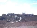 |
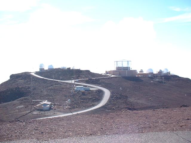
The next hill over is the
Haleakala High Altitude Observatory Site, operated by the
University of Hawaii Institute for
Astronomy. In addition to telescopes, this site
has a high power LIDAR instrument used to map the surface of the moon.
This is also one of the sites that makes up the Ground-Based Electro-Optical Deep Space
Surveillance (GEODSS) system that the U.S.
Air Force is using to track debris in space. They were not open to the
public.
|
 |
Looking back at the crater area from the summit.
|
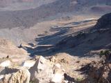 |
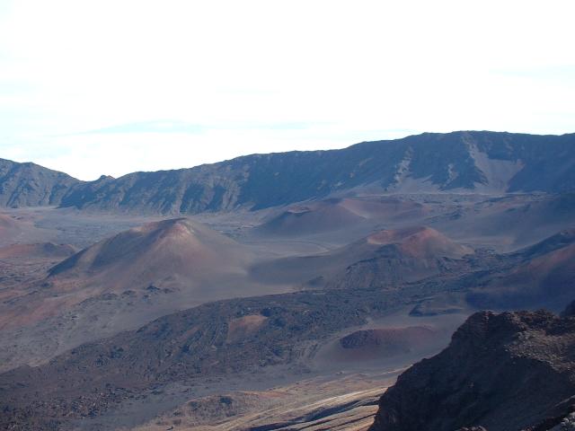
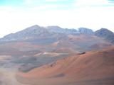
The western side of the crater area, as seen from a scenic outlook further
down the mountain.
|
 |
You can clearly see several volcanic cones inside the crater area.
|
 |
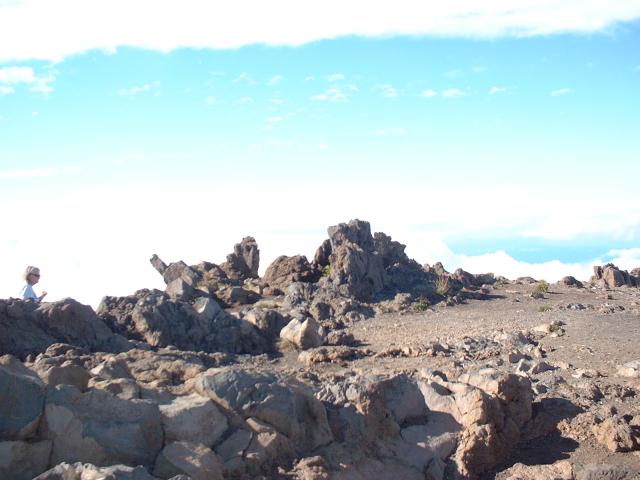
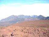
A look out at the clouds below with volcanic rock in the foreground.
|
 |
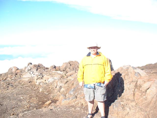
Maybe it was the altitude, but my face was freezing and my bare toes felt
perfectly fine. According to the Visitors Center at the summit area, the
temperature that afternoon at the summit was 57° Fahrenheit (14°
Celsius) with a light breeze.
|